All Your Fields on One Screen.
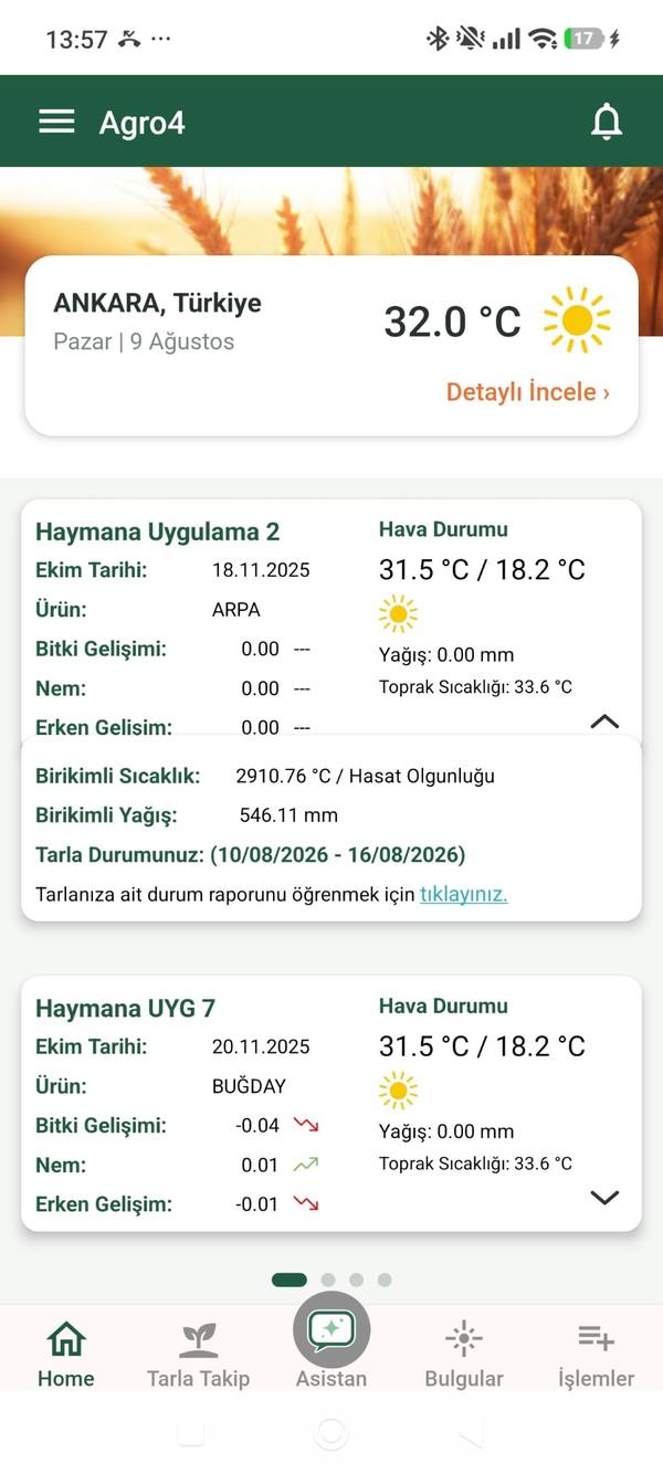
AGRO4-Field brings satellite imagery and agricultural indices to your smartphone. Monitor every field's health in real time, catch problems before they grow, and decide without going to the field.
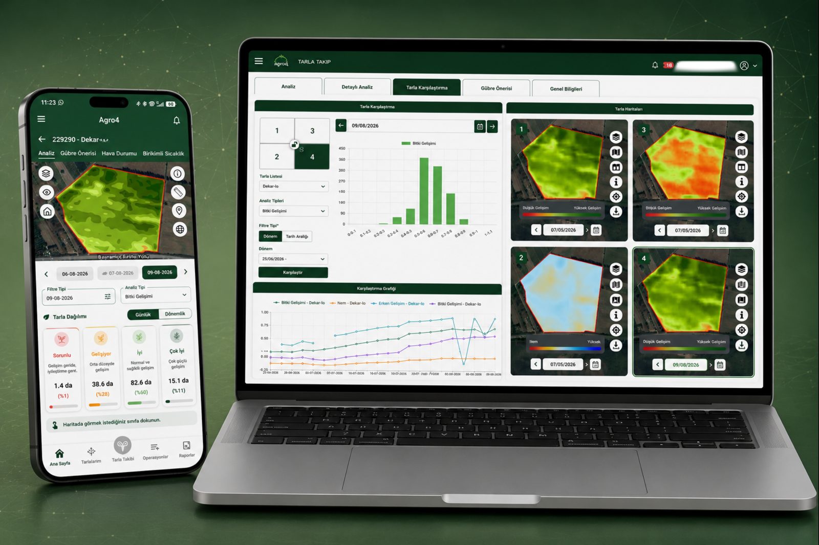
Master the Field Without Being There
AGRO4-Field turns satellite data into meaningful farm intelligence — no technical knowledge required.
Monitoring & Analysis
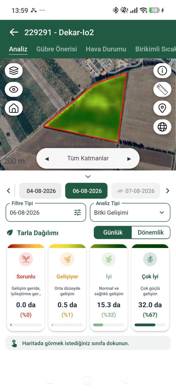
Real-Time Satellite Imagery
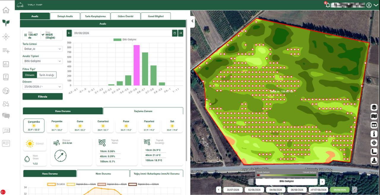
View your field's current state anytime with regularly updated data from Sentinel-2 and Planet satellite imagery.
Crop-Specific Health Indices
Insights go beyond NDVI; they cover crop-specific growth stages and phenological phases.
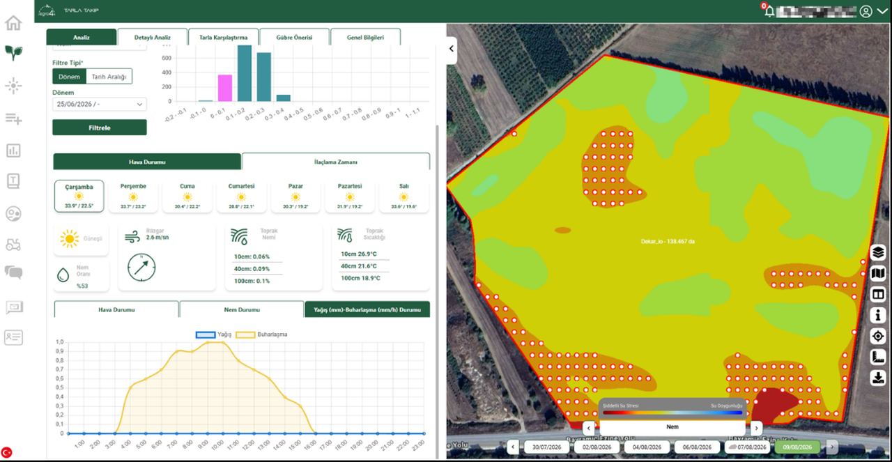
Water Stress
Plant water content is measured continuously; early warnings protect your crops against water stress.
Nitrogen Stress
Nitrogen maps help you detect nutrient deficiencies early and take timely action.
Historical Crop Health
Analyze the last 5 years of data to detect risk and productivity trends and chronic issues.
Findings Module
Record, track and report problems and observations detected in the field along with their location.
Decision Support
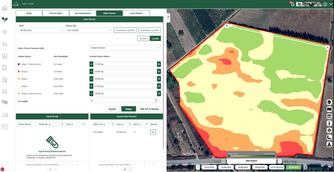
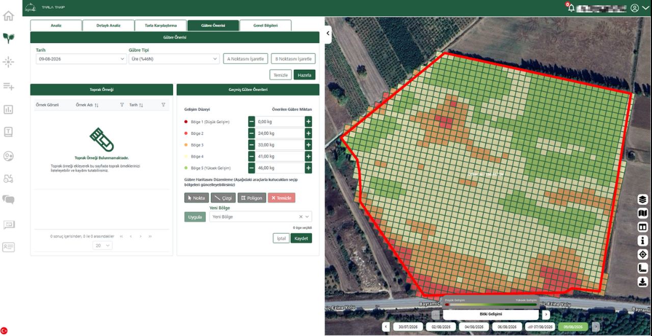
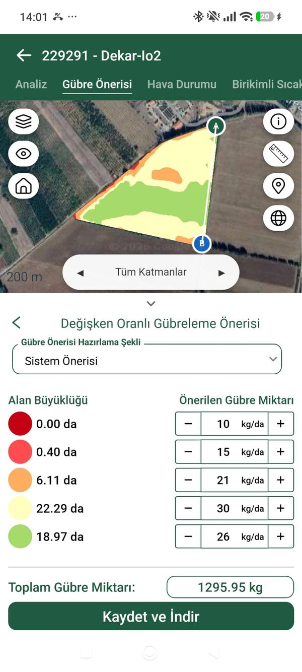
Variable Rate Application
Create variable-rate base and top fertilizer application maps; apply them in the field with fully integrated AGRO4-VRA hardware.
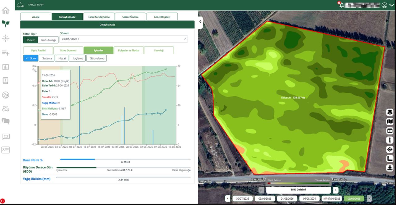
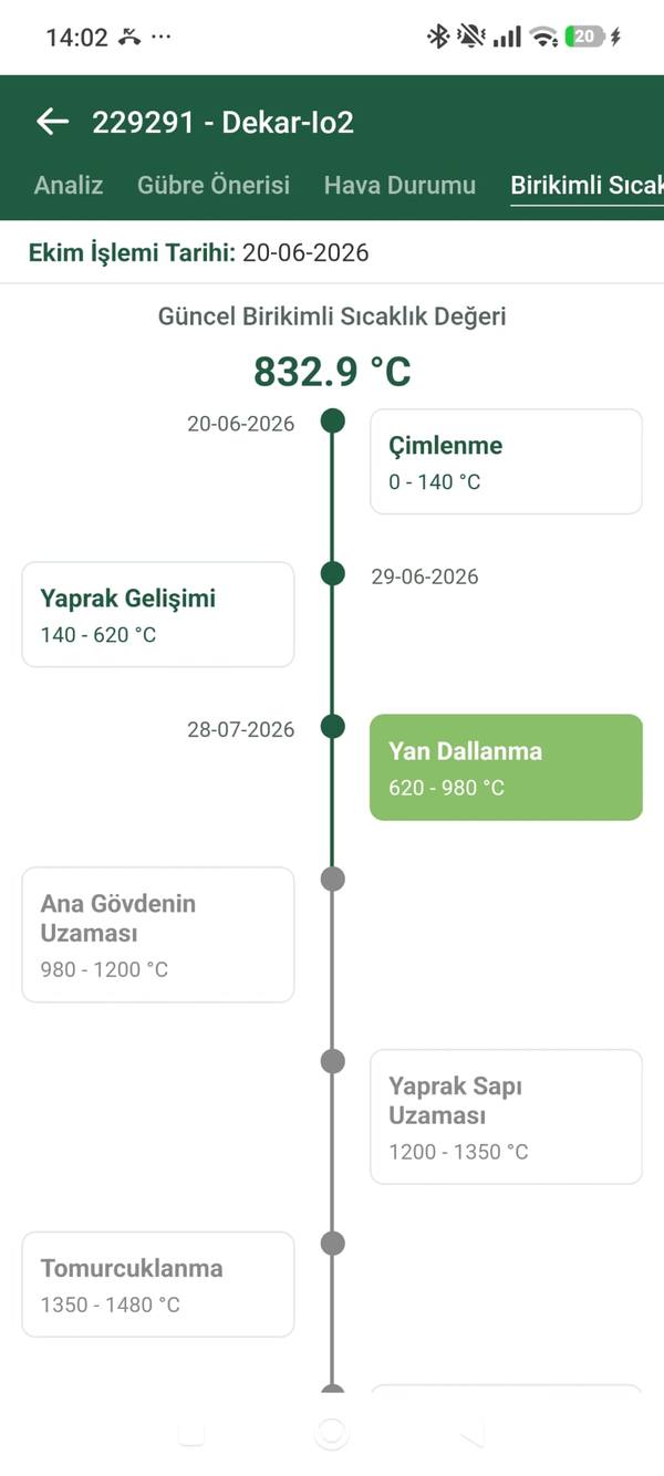
Phenology-Driven Growth Tracking
Track crop development step by step with phenology models defined for each crop; see every stage on time and act at the right moment.
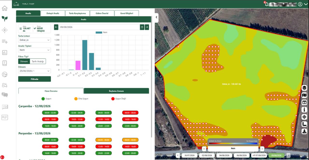
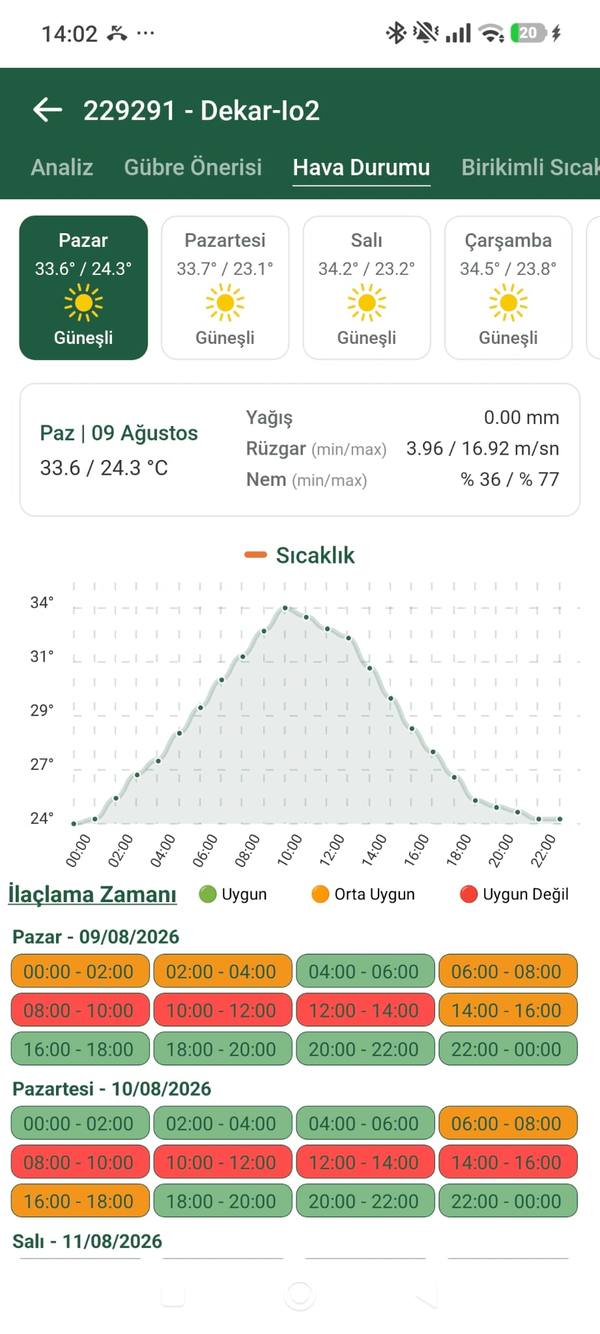
Ideal Spraying Time
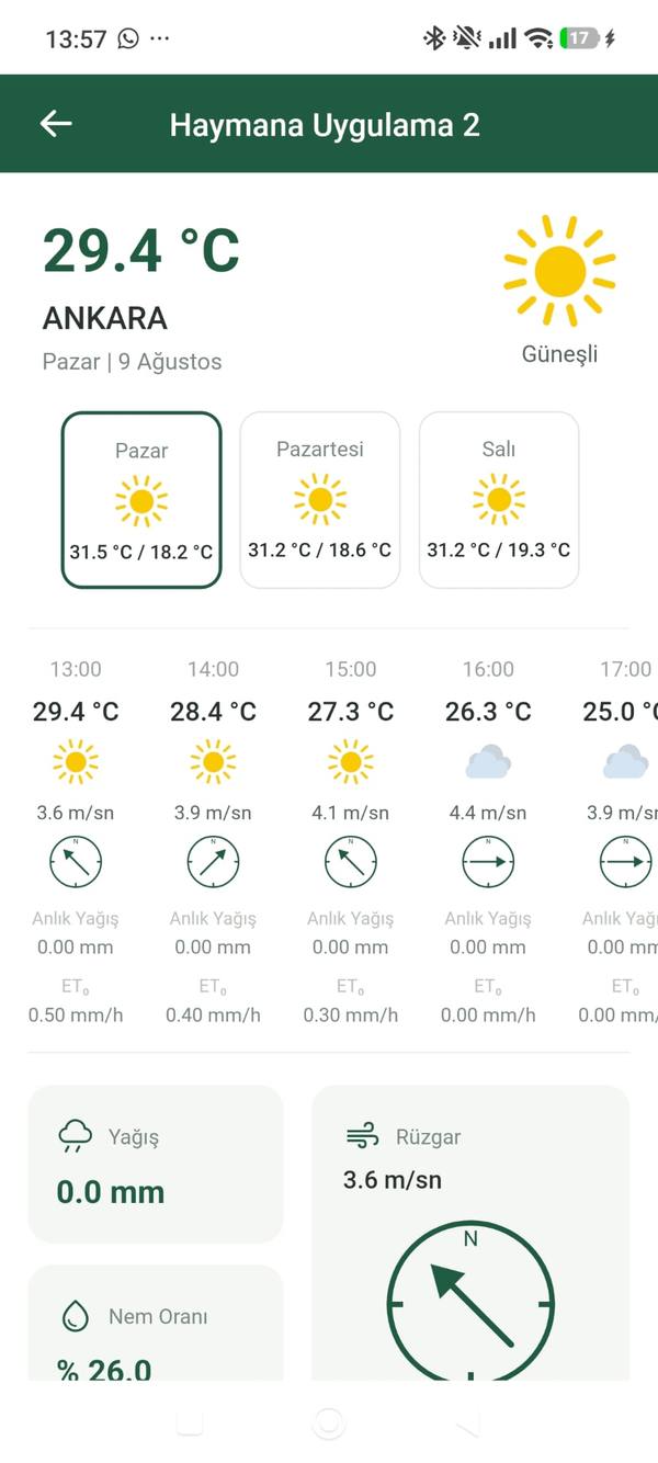
Determine the most suitable spraying window based on weather conditions and crop growth data.
Growing Degree Days (GDD)
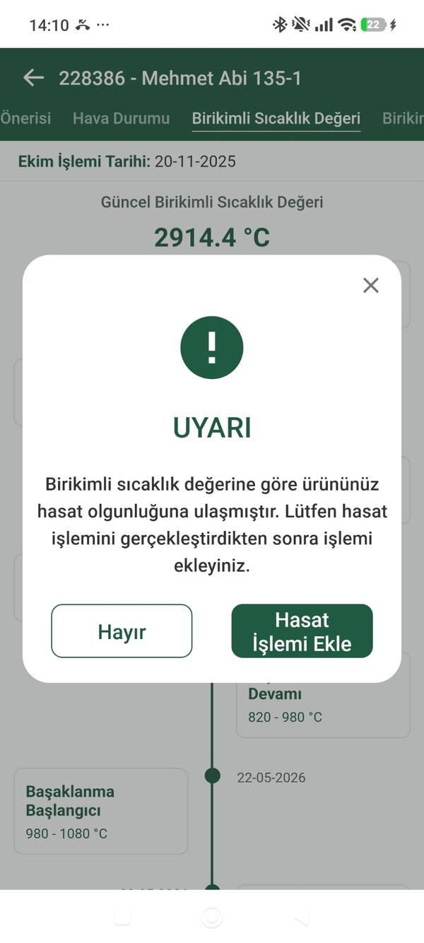
Forecast phenological stages and the right intervention time with crop-based growing degree day (GDD) values.
Automatic Anomaly Alerts
Get instant notifications when sudden change, stress or a problem is detected in the field; manage it before it grows.
Farm Management
Operations Log Module
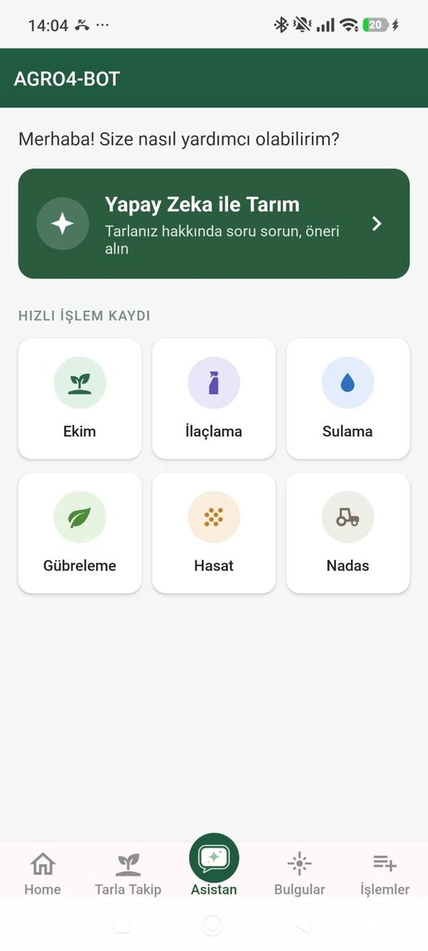
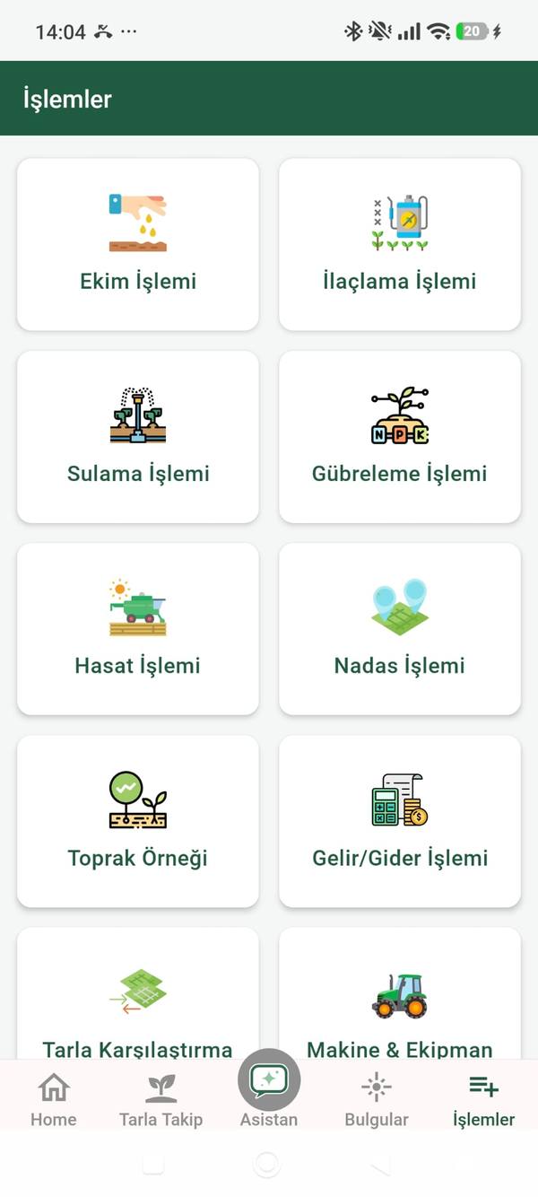
Record sowing, spraying, irrigation, fertilization, harvest and fallow operations per field; keep the whole season in one ledger.
Income-Expense & Financial Tracking
Track your production cost and profitability clearly with per-field income and expense records.
Soil Sample & Analysis Record
Enter soil sample results into the system; relate analysis data to your fertilization decisions.
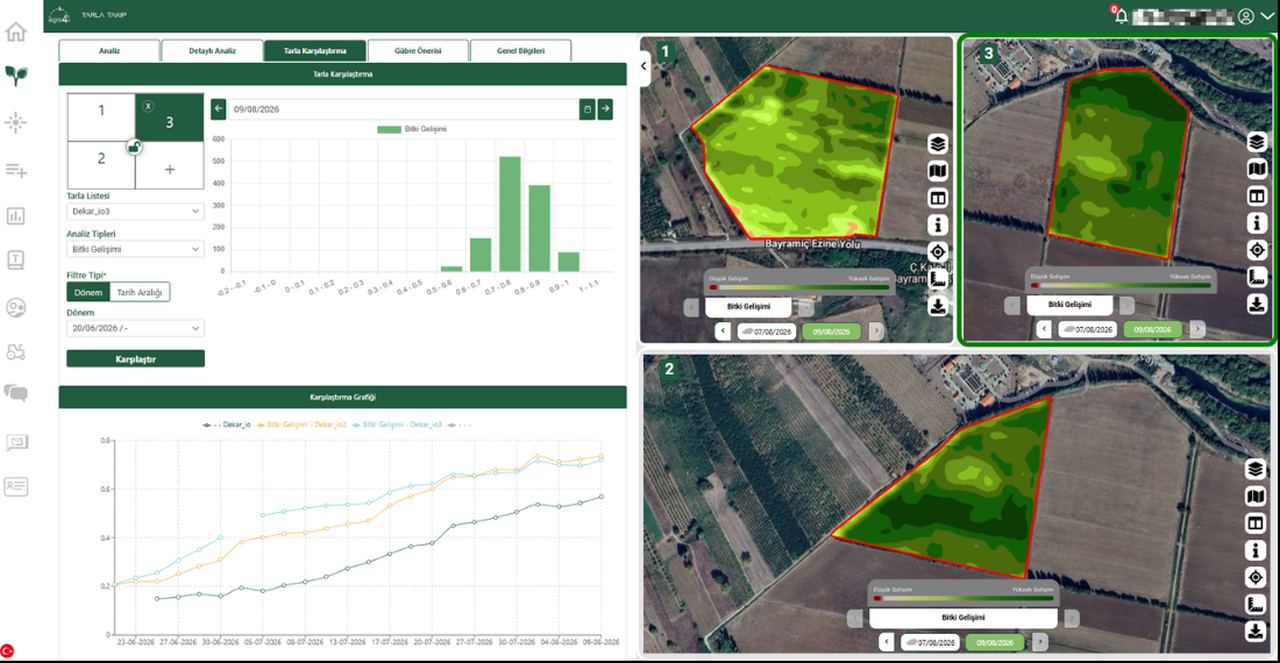
Multi-Field Management
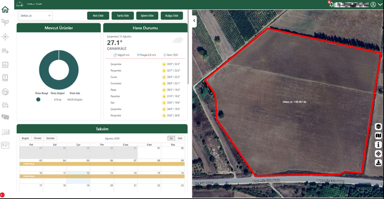
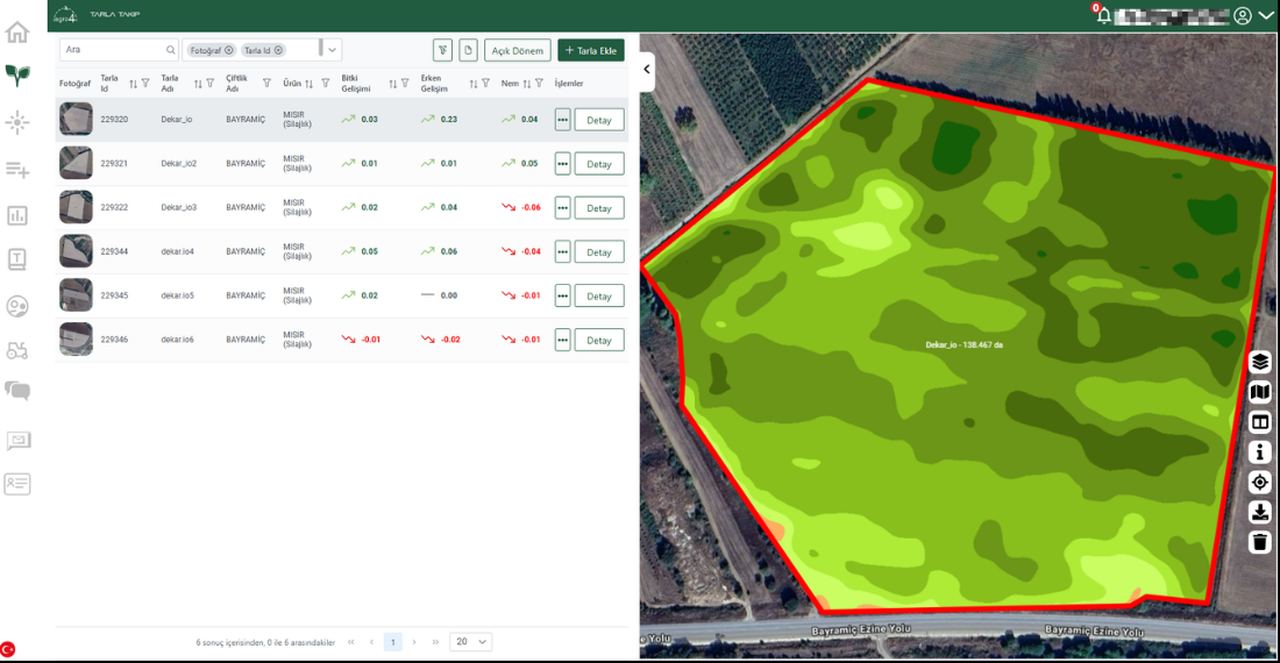
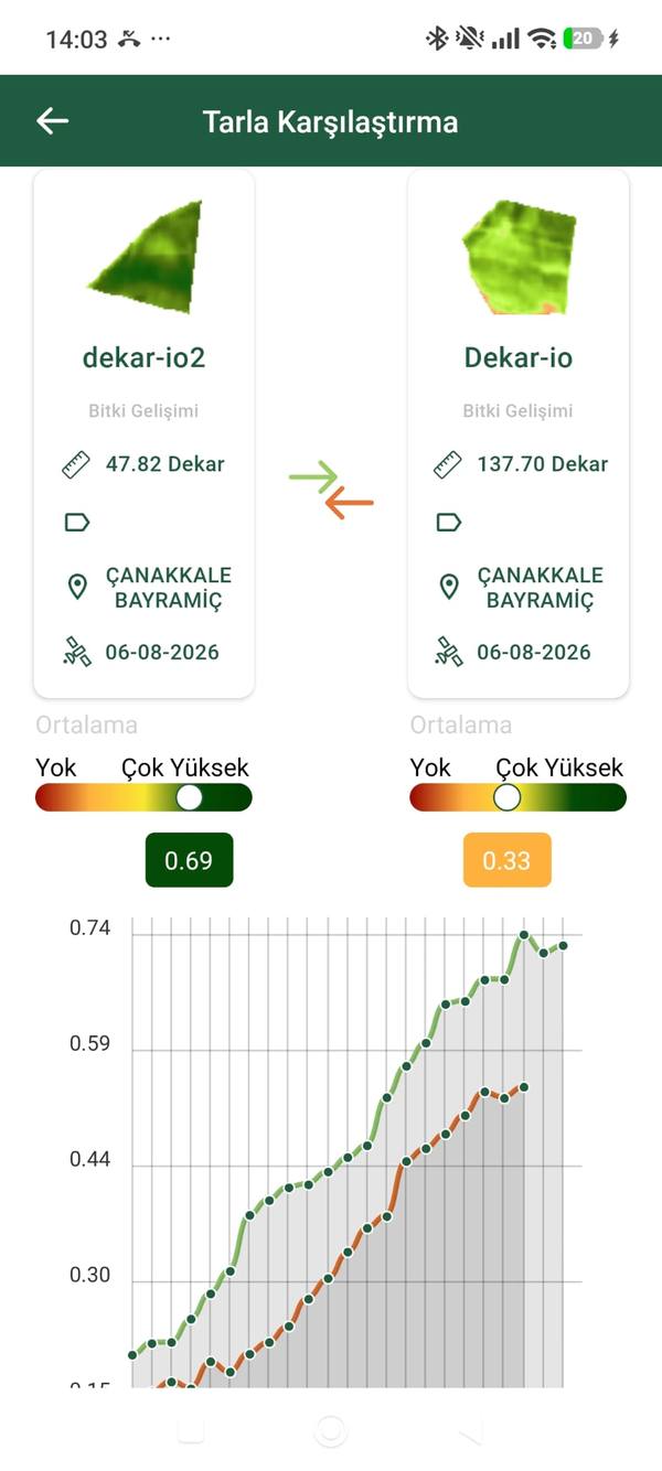
Gather dozens of fields in one portfolio, monitor and compare them all from a single panel.
iOS · Android · Web
From your phone in the field, from the browser at the office — your data is synced across all devices.
Every Index Tells a Different Story
AGRO4-Field offers multiple spectral indices together; each shows a different aspect of the field.
Vegetation Density
Measures green biomass and plant vitality; reveals growth irregularities.
Water Stress & Moisture
Shows plant and soil moisture content; notice irrigation needs in advance.
Nitrogen Stress
Maps nitrogen and nutrient status so you can detect deficiencies early.
Chlorophyll & Nutrition
Assess the plant's overall nutrition and health with chlorophyll density.
Field Intelligence in Four Steps
Add Your Field
Draw your field on the map, or query by parcel/plot to get the boundary automatically.
Satellite Analysis
AGRO4-Field processes the latest satellite imagery to produce agricultural indices.
Get Alerts & Insights
Get notified when an anomaly is detected and review the field's health map.
Make Decisions
Determine where fertilization, irrigation or intervention is needed based on data.
Mobile in the Field, Web at the Office
The same data, synced across every device. Take a quick look from your phone in the field, and analyze in depth on the wide web panel at the office.
Start Monitoring Your Field Today
Download AGRO4-Field, add your first field and see the difference of satellite-powered field monitoring.
Start Field Monitoring Today
Earn more every season with AGRO4-Field subscription packages and the Exclusive Farmer Club. First-season campaigns await you.